About Geoscope Solutions
Transforming environmental data into intelligent, actionable decisions.
- 24 hourstypical report turnaround
- United Statescoverage
Overview
Geoscope Solutions is an environmental intelligence technology company that helps environmental consultants, engineers, lenders, developers, real estate professionals, government agencies, utilities, insurers, and investment firms make faster and more informed land-related decisions.
We combine geospatial analysis, environmental databases, historical mapping, remote sensing, and modern GIS technologies into one intelligent platform that transforms complex environmental data into clear, actionable reports.
Our mission is to reduce the time, cost, and uncertainty involved in environmental due diligence by providing comprehensive environmental intelligence in minutes instead of days.
Rather than replacing environmental consultants, Geoscope Solutions empowers them with better data, faster workflows, and improved decision-making.
What we combine
Database screening
Government and third-party environmental databases searched around a property.
GIS and proximity
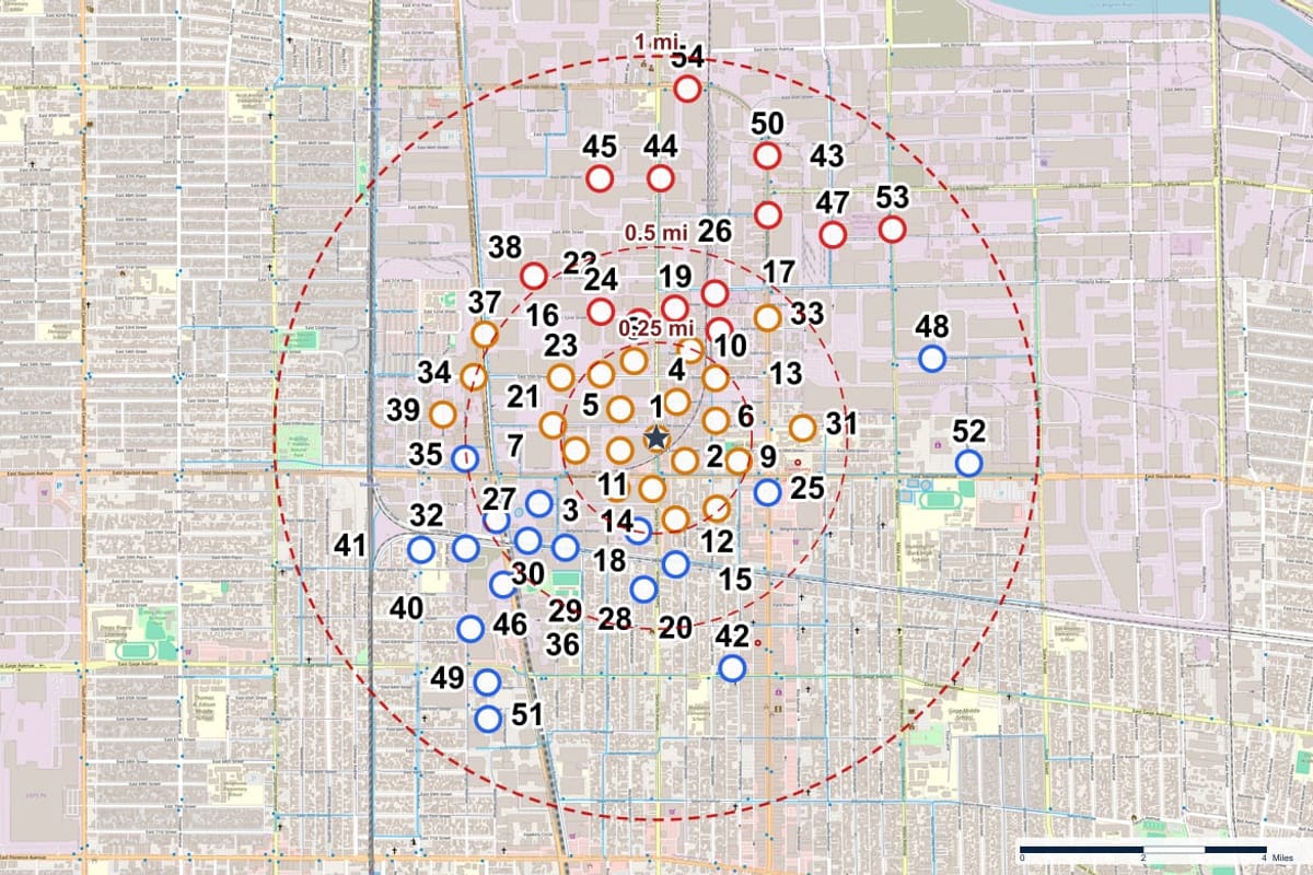
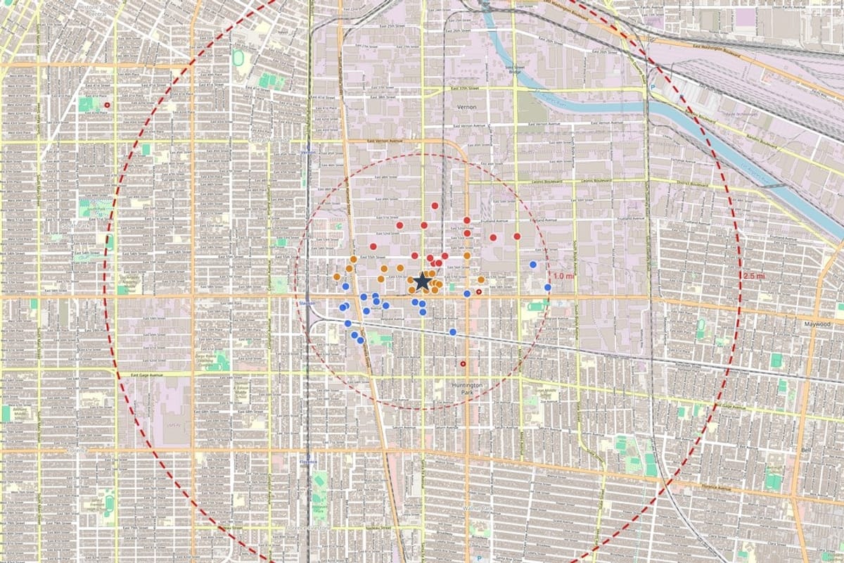
Records placed on maps with distances, directions and overlays.
Historical research
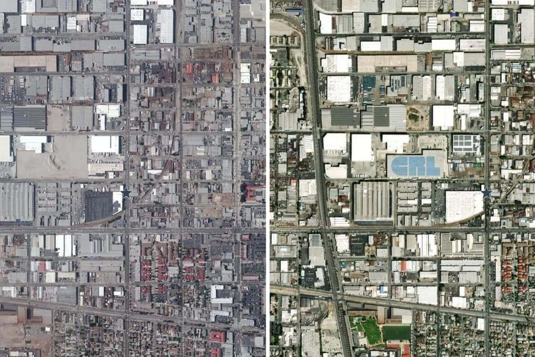
Aerial photography and topographic maps that show how a site changed.
Reporting workflow
Analyst-checked PDF reports delivered to your account.
From a Geoscope report
Who it is for
Environmental consulting
Engineering
Lenders and finance
Insurance and risk
Government and planning
Infrastructure and development
Keep exploring
See it on your own property
Order a report for any US address and see the records around the property.