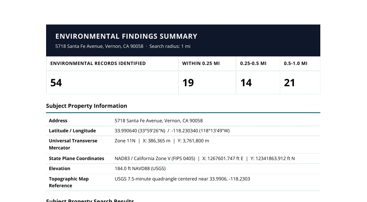
Environmental Site Reports
Comprehensive environmental intelligence reports with integrated regulatory records, GIS context, and professional findings
Environmental Intelligence Services
From due diligence to mapped risk workflows, Geoscope turns complex environmental data into clear, defensible outputs for consultants, lenders, and legal teams.
Comprehensive environmental intelligence solutions for consultants, engineers, lenders, developers, and public-sector teams across the United States.
Comprehensive environmental intelligence reports with integrated regulatory records, GIS context, and professional findings
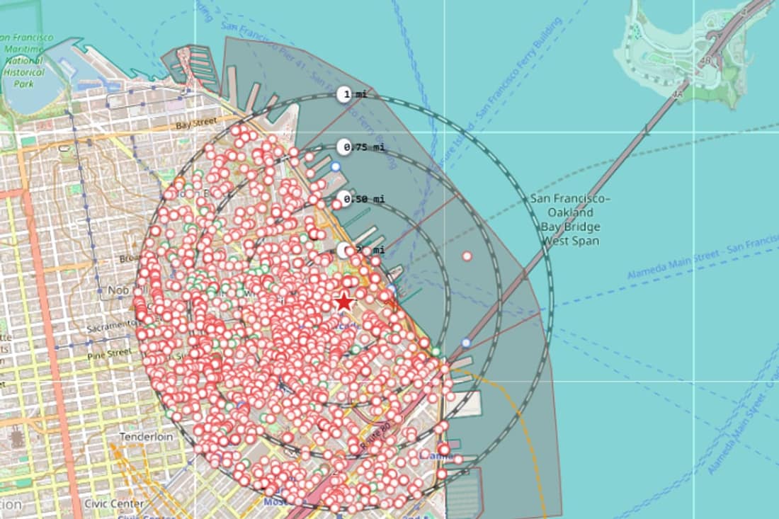
Interactive geospatial mapping with proximity measurement and layered environmental context
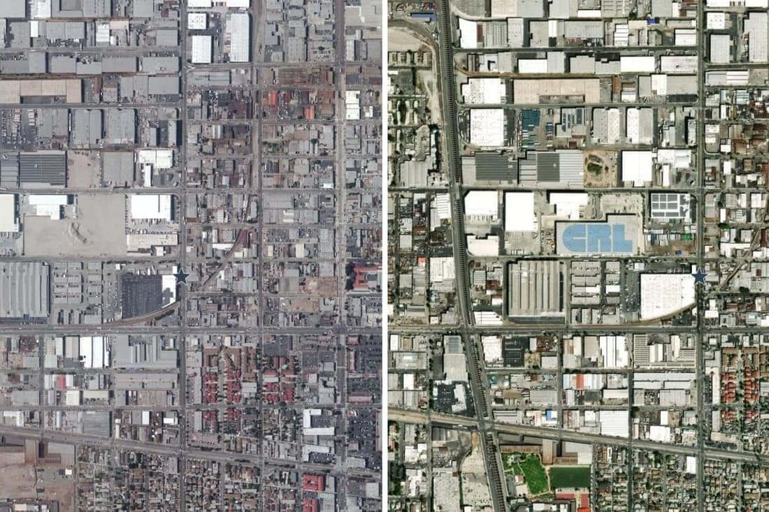
Historical and current imagery analysis to support land-use review, site history, and environmental screening
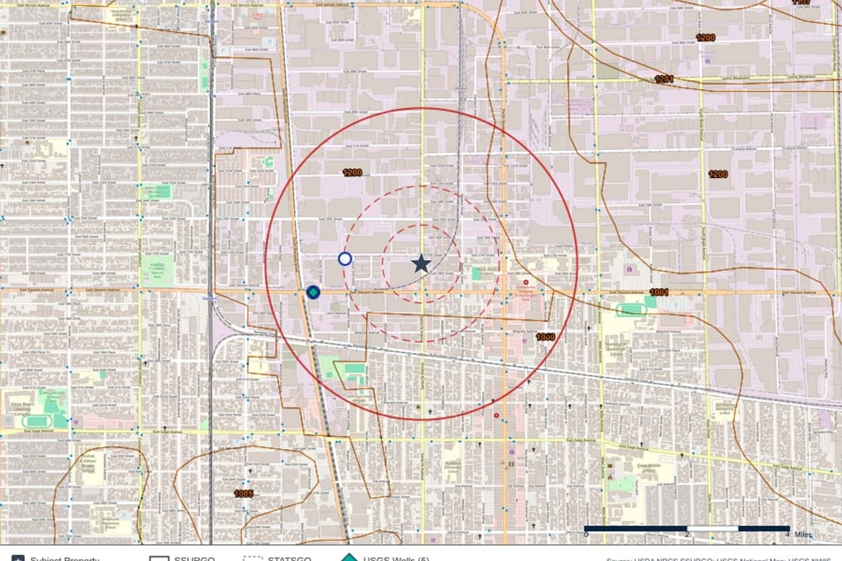
Historical and current climate context with flood intelligence and site-level environmental implications
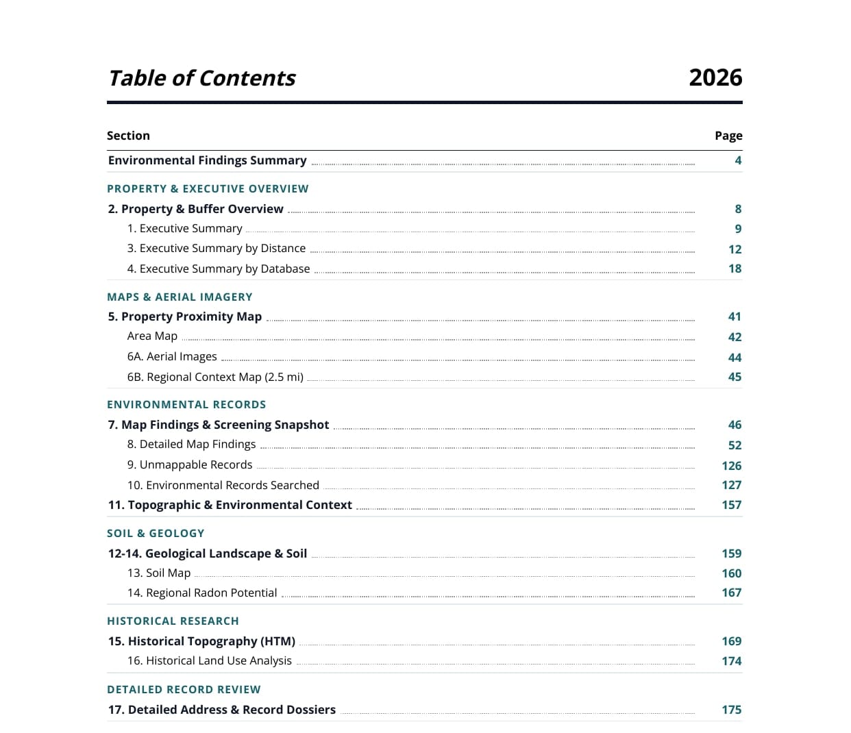
Tailored environmental deliverables based on project scope and stakeholder requirements
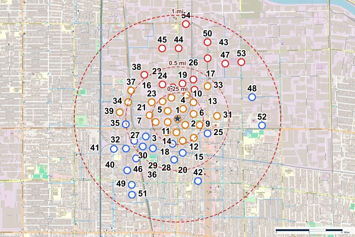
Environmental records numbered on the map, with distance and direction from the property and surface elevation for context
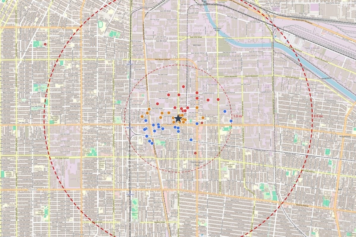
Integrated environmental intelligence from federal, state, tribal, and local data sources
Productized modules you can combine based on project scope, due diligence stage, and stakeholder reporting needs.
Continuously refreshed environmental intelligence across core datasets.
Role-based workflows and protected collaboration for project teams.
Professional, client-ready reports for due diligence and legal review.
Federal, state, tribal, and local sources integrated in one platform.