Environmental Records Reports for Property Due Diligence
Find the environmental records, locations and historical information around a property, in one structured report.
Examples of what we search
GIS intelligence
Every record placed on the map
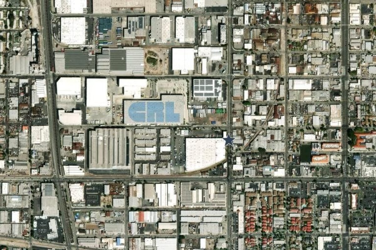
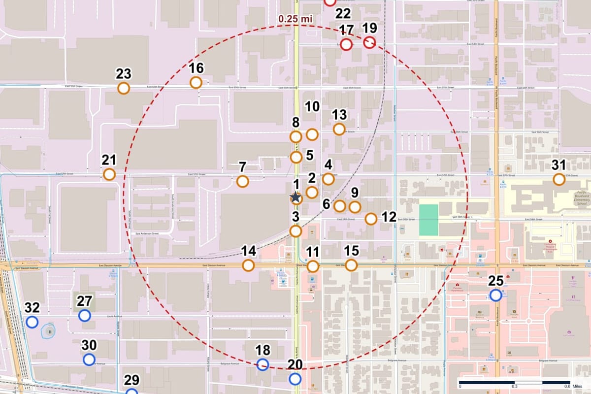
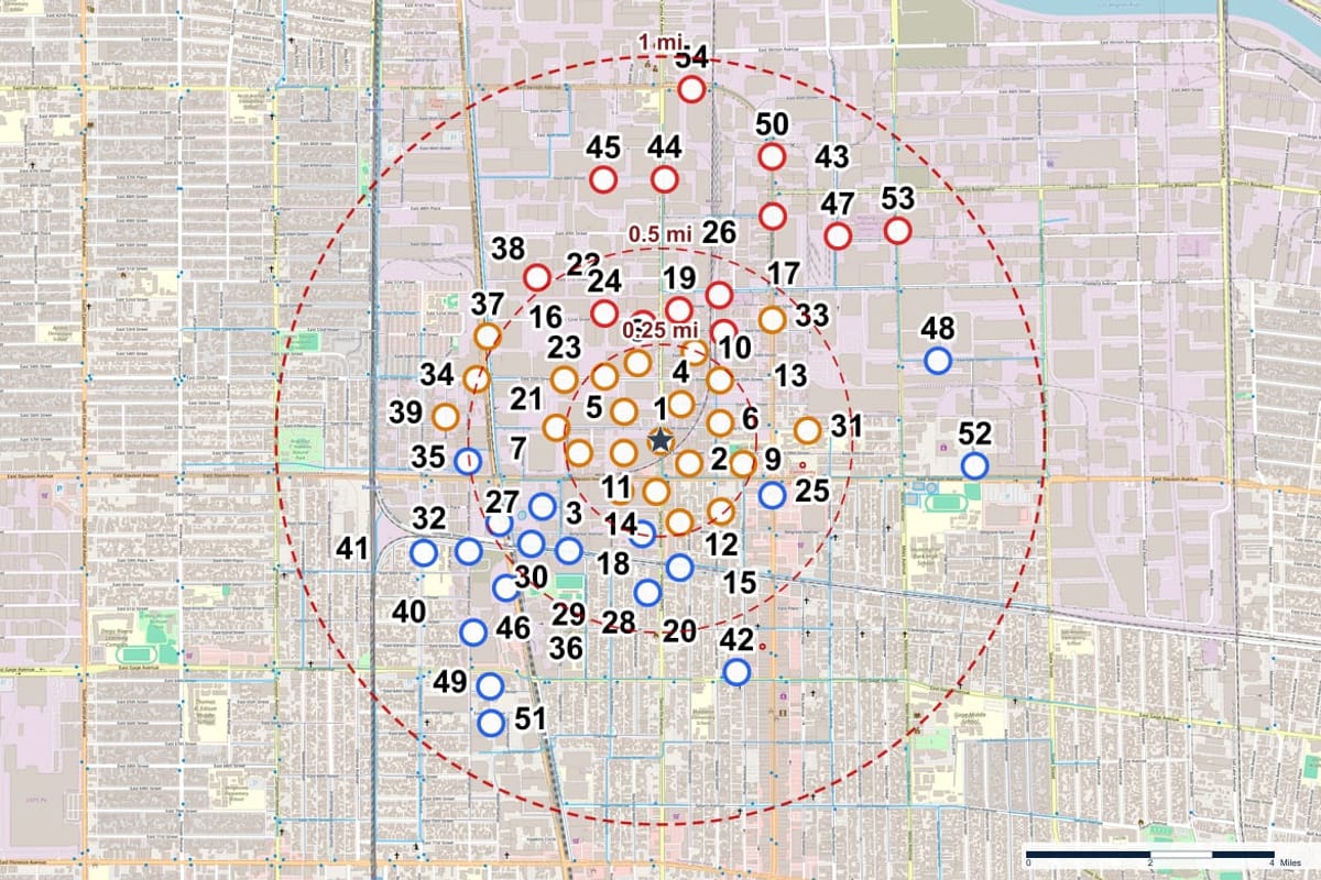
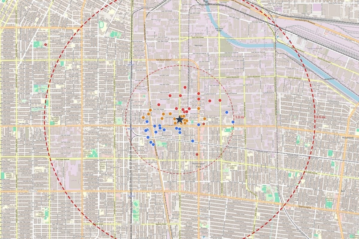
A property can look straightforward on a map while its environmental history tells a different story. Geoscope geocodes each record around the subject property, numbers it, and measures its distance and direction, so you can see what surrounds a site before you commit.
- Subject property marked on the aerial photograph and the map
- Buffer rings at 0.25, 0.5 and 1 mile
- Distance and direction calculated for every record
Research for every kind of property
Industrial sites, vacant land and redevelopment projects each raise different questions. The report answers them from the same records.
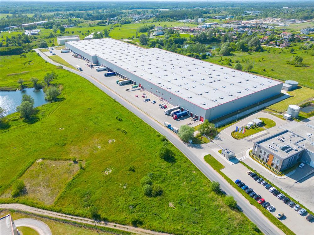 Industrial and commercial sitesRegulated facilities, cleanup sites and storage tanks around the property, listed closest first.See the records report →
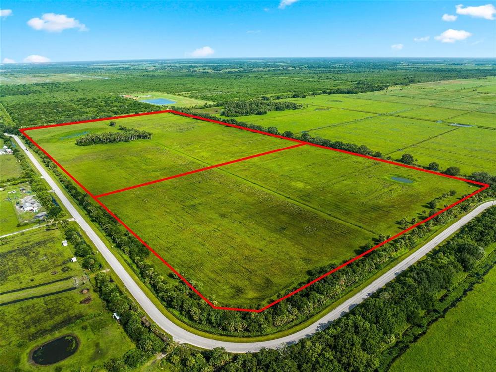 Vacant and undeveloped landFind out whether a parcel has a history, or sits beside a site that does, before you buy or build.For developers and brokers →
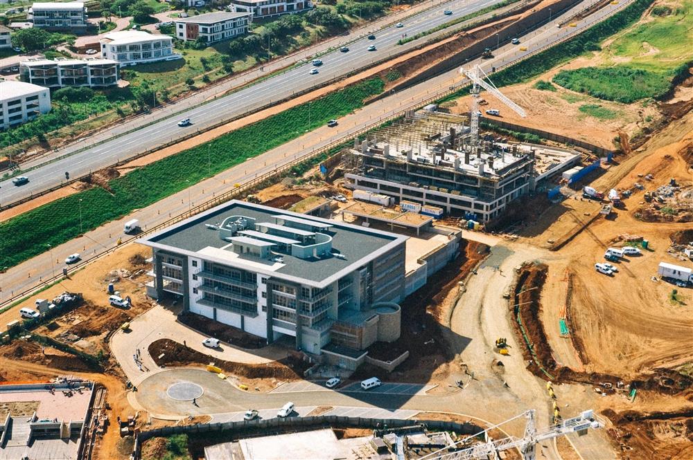 Redevelopment and constructionHistorical aerials and topographic maps show what stood on the land before the project began.Historical references →
See how a property has changed
Every site has a past. Reports include aerial photography of the property from more than one year, so you can see what stood on the land before the records begin.
Watch it switch between 2014 and 2024, or choose a year. Both photographs show the same area, with the subject property marked by the star.
Explore the Historical References Package →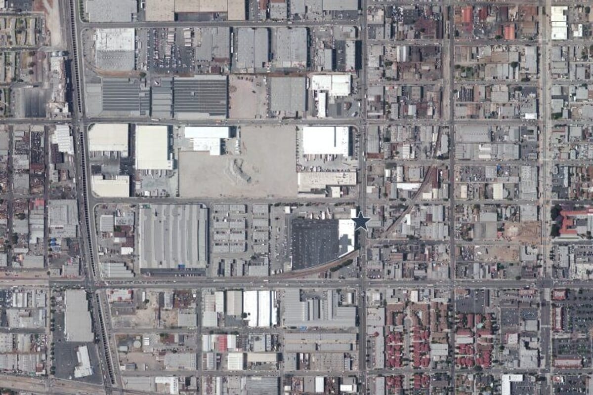
Environmental context
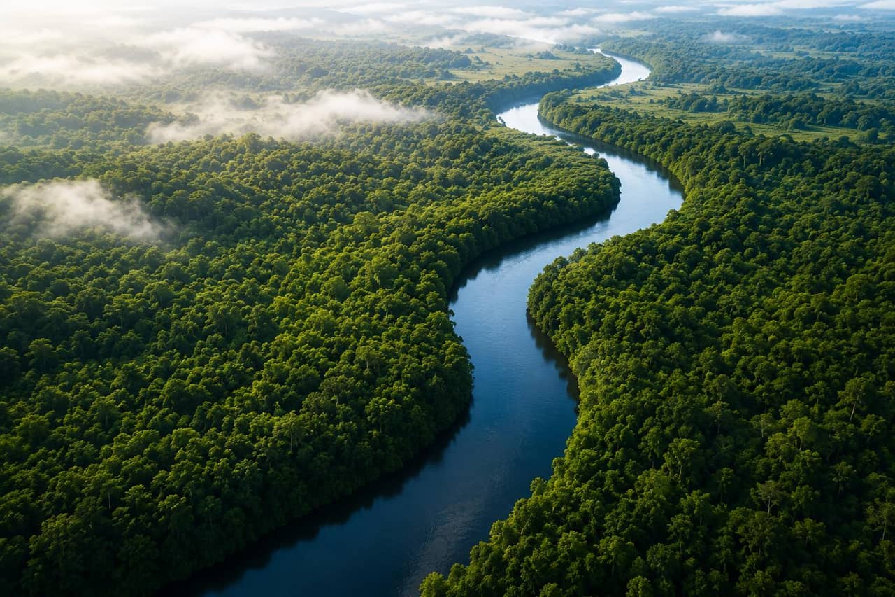
Terrain, water and land around the property
Rivers, flood zones, wetlands and elevation are part of what surrounds a site. Reports give the distance, direction and surface elevation of each record, and search flood zone and wetlands databases where the source covers the area.
Order a Report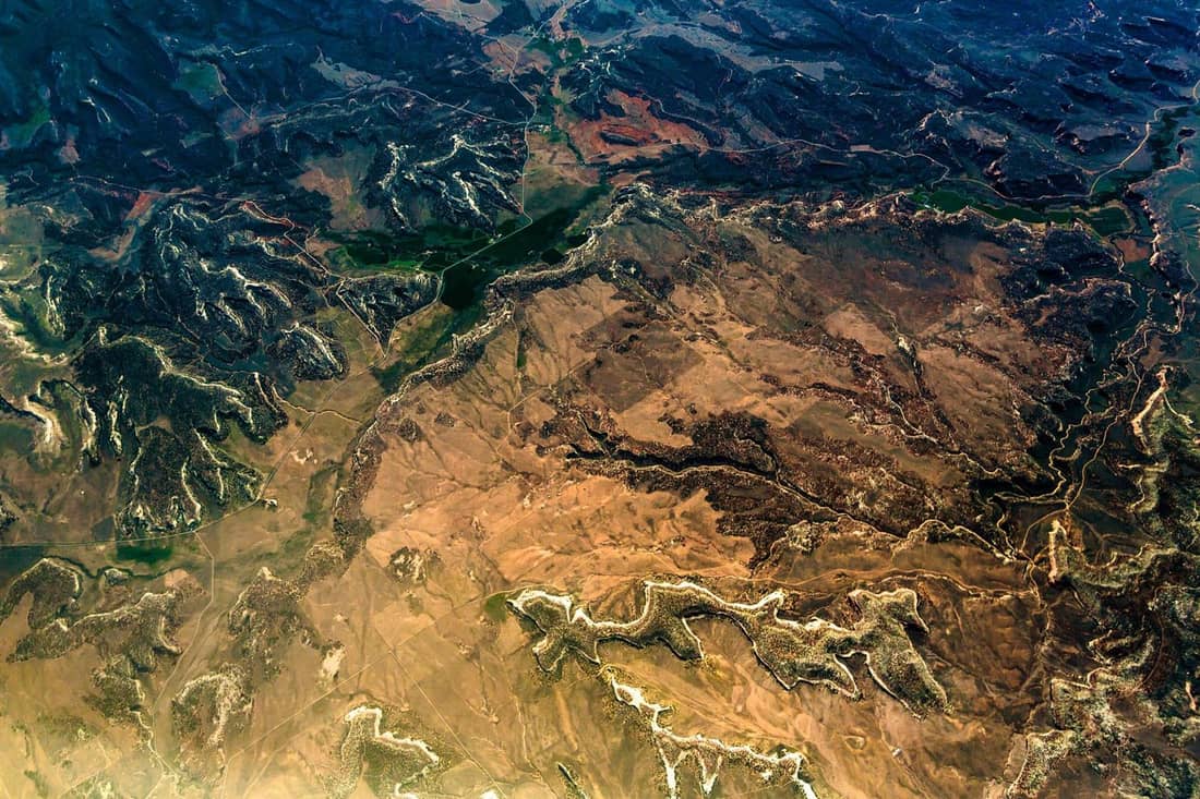
Geology and soil
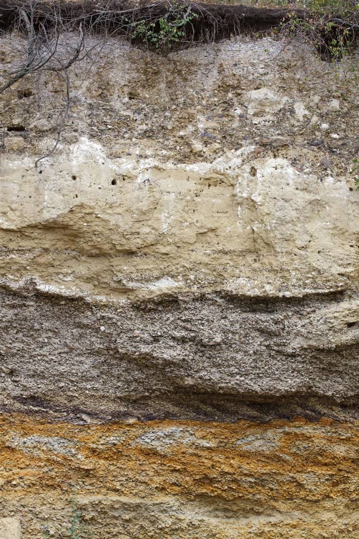
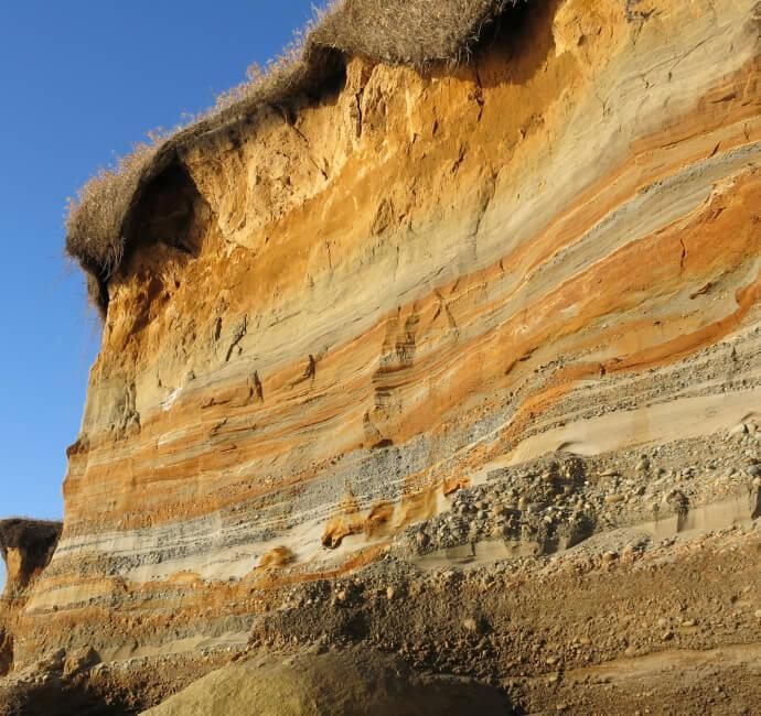
Soil and geology maps for the area
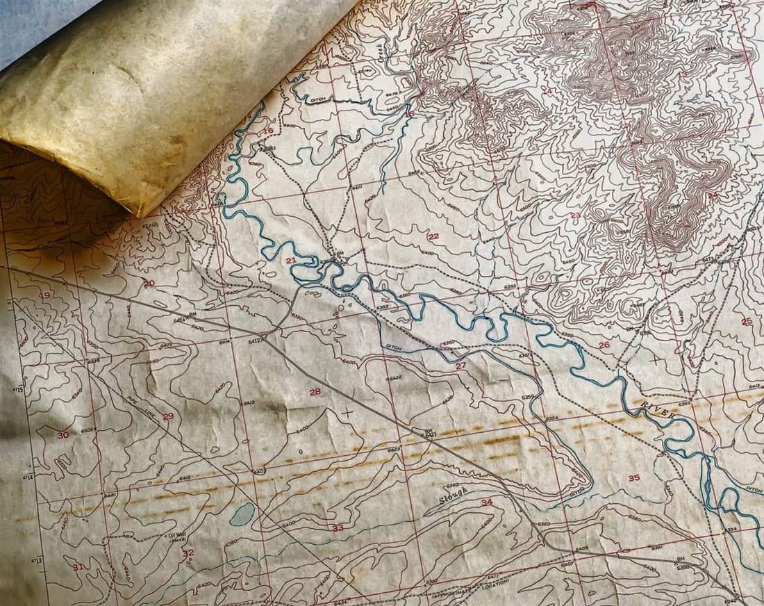
Every report includes soil and geology maps for the area around the property, with the source of each map named on the page. They give your team the ground conditions to review alongside the records.
Soil in property research
Why the ground matters to a records review
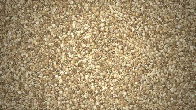
Soil texture and drainage change how water moves through the ground. These short animations show the idea. Soil survey values in a report describe a mapped unit, not conditions at one site.
Texture
Same water, different soils
Water generally moves through sand more readily than clay-rich soil.

Drainage
Where does the water go?
Soil, slope and what lies beneath decide whether rain soaks in or runs off.
See a Real Report Before You Order
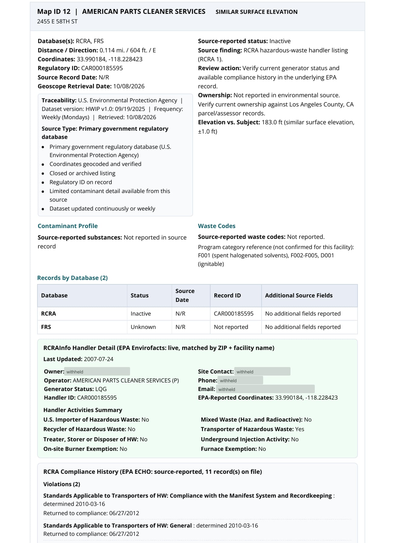
A facility record from our published sample report for an industrial property in Vernon, California. This is what you receive.
Platform
Explore the Records on an Interactive Map
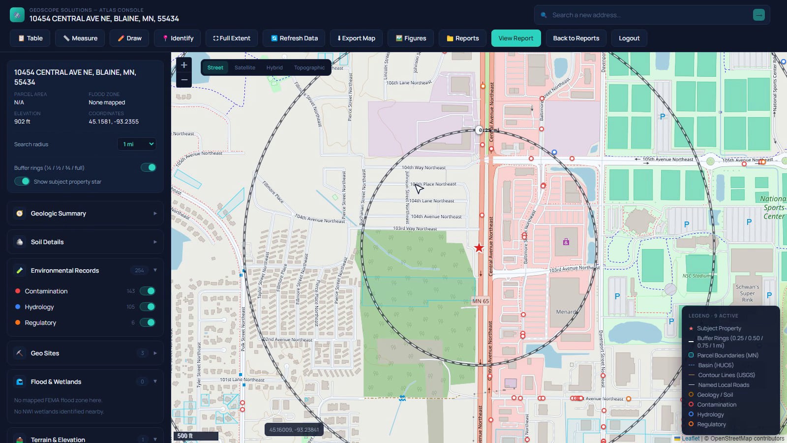
Geoscope Atlas turns environmental research into an interactive, map-based workflow. Instead of reviewing environmental records as disconnected lists, explore where records occur, measure their relationship to the subject property, switch between layers, and investigate historical imagery and topographic references side by side.
Explore Geoscope Atlas →View all products and services →How Geoscope Works
A repeatable process for turning a property address into decision-ready environmental intelligence.
Define
Property address, parcel, coordinates, or project boundary is established, giving your project the correct scope from day one.
Search
Relevant environmental sources are screened across the property's search area for broad first-pass coverage.
Locate
Records are geocoded and mapped where possible, for a clearer spatial understanding of what's nearby.
Investigate
Historical imagery, topographic references, and other contextual information are reviewed to strengthen site history.
Review
Analyst and QA checks confirm the property location is accurate, raising confidence in the final deliverable.
Report
Findings are organized into a structured report, ready for professional review and decision-making.
Why Teams Use Geoscope
Environmental due diligence involves more sources, more history, and more spatial context than any single record can show. Geoscope brings it together so your team can move faster without cutting corners.
Built for environmental consultants, commercial real estate teams, developers, lenders, legal teams, insurance and risk professionals, engineers, and government and planning teams.
See Industries We ServeWhat You Get
- Reduce repetitive environmental research time
- Bring multiple environmental sources into one property-centered workflow
- See environmental records spatially instead of relying only on tables
- Use historical evidence to understand previous site uses and surrounding development
- Create consistent, client-ready research outputs
- Support professional decision-making without replacing the Environmental Professional
Built for the people who sign off on a property
See how each group puts a report to work.
- Developers and brokersKnow what surrounds a site before the offer.See how it works →
- LendersScreen collateral at application, for the price of one report.See how it works →
- Consultants and engineersA complete records base to start a Phase I from.See how it works →
- Legal counselSource-cited, dated records for liability and transactions.See how it works →
- Insurance and riskContext on the surroundings of an insured location.See how it works →
- Government and planningRecords, history and terrain for sites under review.See how it works →
Know the Property. Understand the History.
Start your environmental research with Geoscope Solutions.
Want to partner with us? See how partnering works