Government & Planning
Supporting informed planning and public-sector decision-making.
- Location basedrecords, history and terrain for any site
- 24 hourstypical delivery
- Mappedrecords and overlays in one place
Overview
Government agencies, municipalities, and planning organizations use environmental intelligence to better understand land history, environmental constraints, infrastructure planning, and development opportunities.
Whether reviewing redevelopment proposals or conducting environmental planning initiatives, our reports provide comprehensive location-based information that supports transparent and data-driven decisions.
How planning teams use it
- 1
Select the site
Order for a parcel, a proposed project or a study area.
- 2
Review constraints
Records, flood zones and wetlands show what surrounds the site.
- 3
Understand the history
Aerials and old maps show how the land has been used.
- 4
Brief decision makers
Use the maps in staff reports and public materials.
What helps the public sector
Environmental constraints
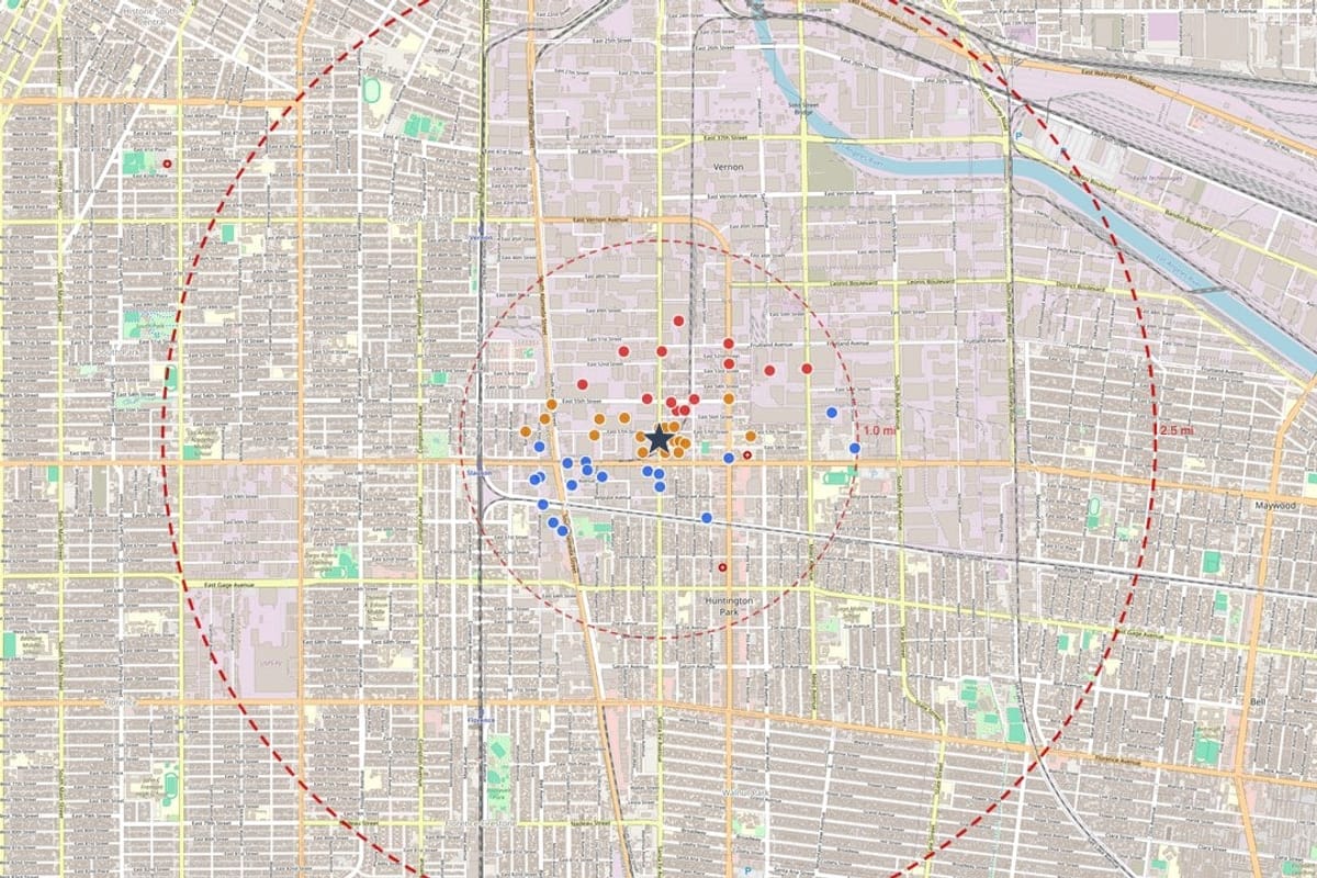
Facilities, flood zones and wetlands mapped around the site.
Land history
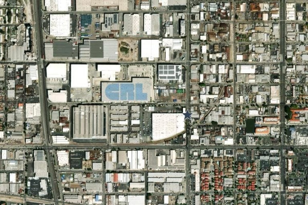
Historical imagery and topographic sheets for a site and its surroundings.
Terrain context
Elevation and contour information to understand the lay of the land.
Clear maps
Numbered, labeled figures suitable for reports and presentations.
From a Geoscope report
Typical uses
Land-use planning
Background on sites under review.
Redevelopment projects
A records and history check on former industrial land.
Infrastructure and public works
Context for the route or site of a project.
Community development
A shared factual base for discussion.
Questions, answered
Do you work with agencies on larger programs?
Yes. Contact us to talk about volume and workflow.
Keep exploring
See it on your own property
Order a report for any US address and see the records around the property.