Historical References Package
Understand How a Property Has Changed Over Time
- Aerialsphotographs of the property from different years
- USGShistorical topographic sheets centered on the site
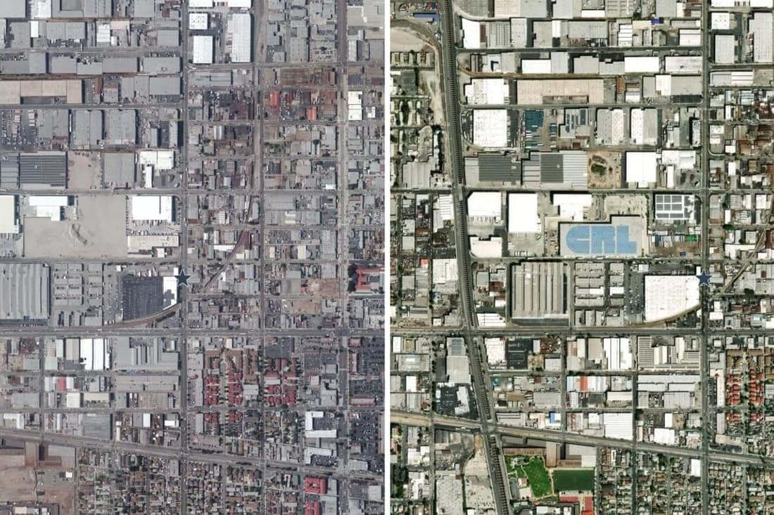
- Side by sidecompare then and now on the same page
Overview
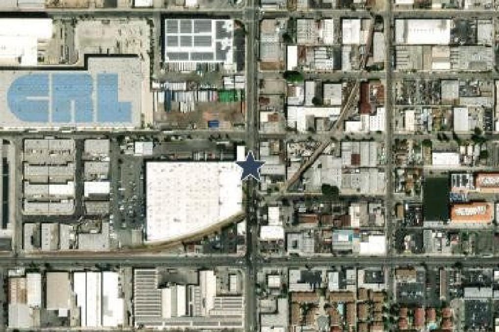
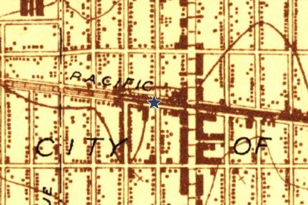
Environmental conditions rarely tell the full story from current imagery alone. Our Historical References Package provides decades of historical mapping and aerial imagery that reveal how a property has evolved, helping identify previous land uses that may indicate environmental risk.
Whether reviewing agricultural land, industrial facilities, commercial redevelopment, or undeveloped parcels, historical references provide valuable context for environmental investigations.
Historical references
The same place, then and now
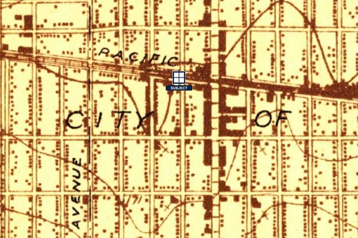
Drag to compare a historical topographic map with current aerial imagery, centered on the same property.
How it works
- 1
Pick the property
The same address you order a report for. Historical pages are produced for that location.
- 2
Imagery and sheets are located
We find the available aerial photographs and the USGS topographic sheets that cover the site.
- 3
Pages are prepared
Each image is centered on the property and labeled with its year, so the pages can be compared directly.
- 4
Review and delivery
An analyst checks the property location on every page before the package is delivered.
Historical references
Walk back through the map and aerial record
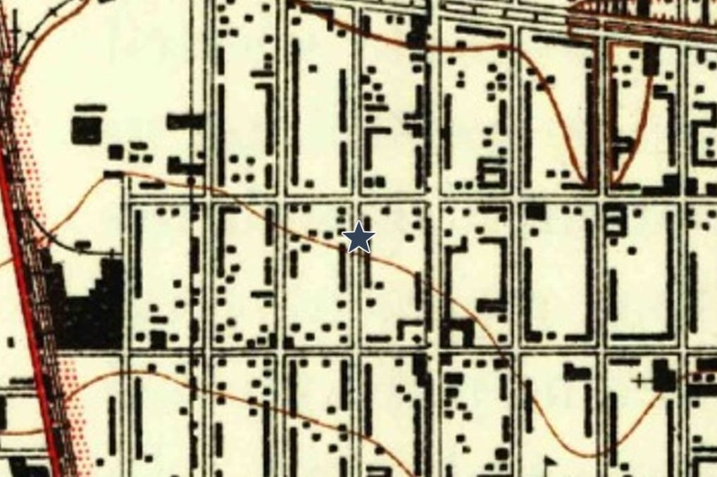
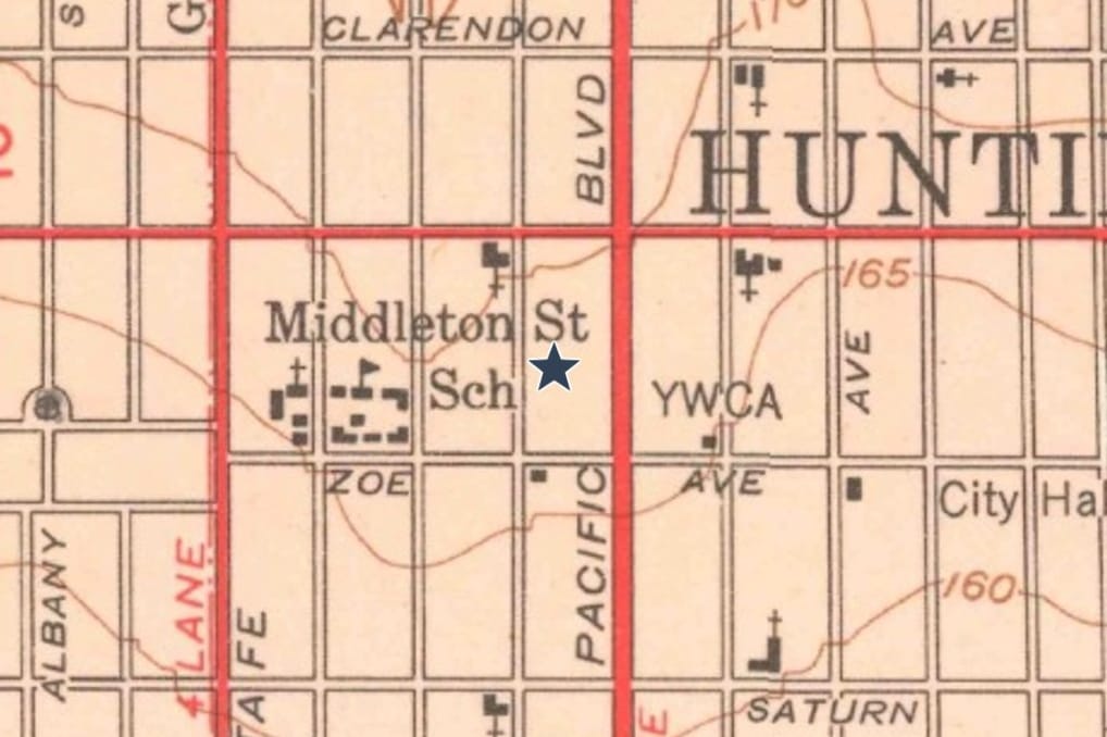
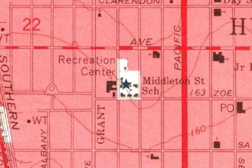
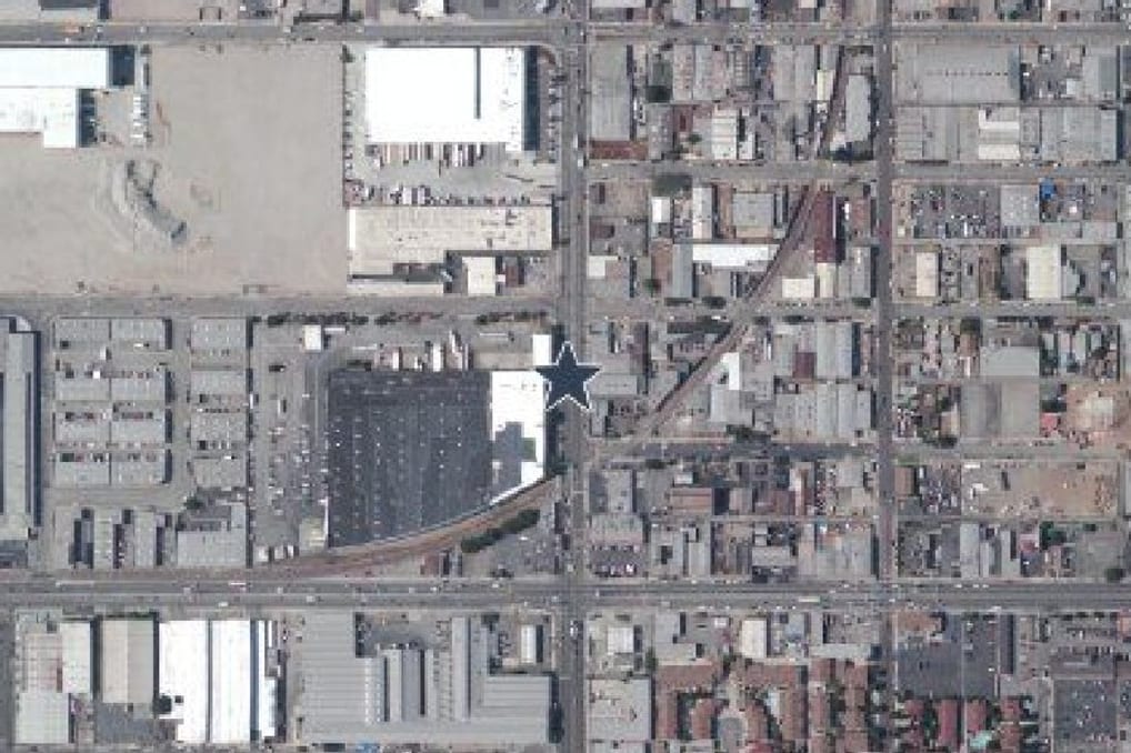
Historical topographic maps and aerial imagery of one location, in the order they were made.
What you can see
Historical aerial photography
Photographs from different years, shown side by side so changes in buildings, roads and open land stand out.
Historical topographic maps
USGS sheets from past decades that record roads, rail lines, buildings and water features as they were then.
Land development patterns
How the area around the property filled in over time, and when.
Former roads and rail corridors
Corridors that no longer exist but may have carried industrial activity.
Previous buildings and structures
Structures that appear on older sheets and not on current imagery.
Historic waterways and filled land
Streams, ponds and low areas that have since been altered.
From a Geoscope report
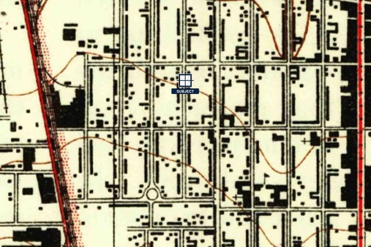
What reviewers look for
Former industrial operations
Large buildings, rail spurs and yards where a plant once stood.
Previous fuel stations and small commercial uses
Small structures at corners that no longer exist.
Filled ponds and drainage changes
Water features that were later covered or rerouted.
Land grading and excavation
Visible earthwork that changes how a site should be reviewed.
Questions, answered
Which years are included?
The years depend on what archives exist for the location. Each page is labeled with its year so you can see exactly what you are looking at.
Is this a historical review for a Phase I?
It is source material for one. It does not replace the research and judgment of an environmental professional.
Keep exploring
See it on your own property
Order a report for any US address and see the records around the property.