Soil in property research
The ground beneath a property
How soil is described, what it adds to a records review, and what it cannot tell you.
Soil is one layer of context in a property review. A soil survey describes the soil of a mapped area: its layers, texture, drainage and how readily water moves through it. These short animations explain the ideas. The soil survey values in a report describe a mapped unit, not the conditions at one site.
Soil is layered
Soil forms in layers called horizons. Topsoil is usually darker and richer in organic matter, subsoil is where clay and minerals often build up, and the substratum is the parent material beneath. Scroll to move down through the profile.
Layers
Scroll down through the soil
A soil profile runs from the surface to the material beneath. A soil survey describes these layers for a mapped area.

Texture changes how water moves
Sand has larger particles and larger spaces between them. Clay-rich soil has much finer particles. When other conditions are comparable, water generally moves more readily through sand. In real soil, cracks, structure and moisture change this.
Texture
Same water, different soils
Water generally moves through sand more readily than through clay-rich soil when other conditions are comparable.

Where the water goes
After rain, water can run off the surface, soak in, or slow down at a dense layer below. Which of these happens depends on the soil, the slope, what lies beneath, groundwater and how the land has been developed.
Drainage
Where does the water go?
Drainage depends on soil, slope, restricted layers below the surface, groundwater and how the land has been developed.
Reading a soil map
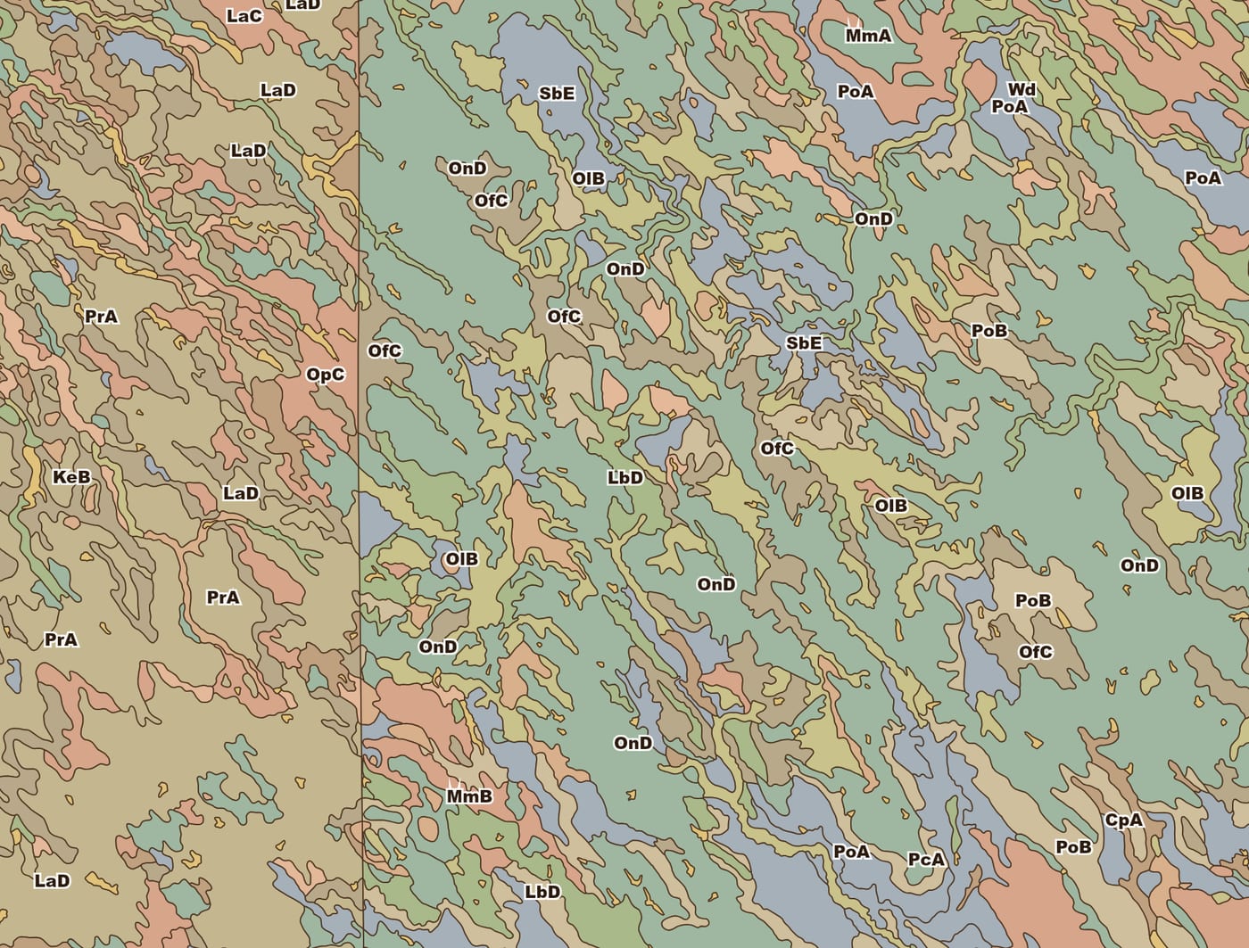
A soil survey draws each area as a map unit with a symbol and a name. One unit can hold more than one soil component, and the line between two units is a generalization, not a sharp change in the ground.
Soil maps
One map unit, several soils
A soil survey draws each map unit as one area, but the unit can hold more than one soil component.
Opal-Sansarc clays, 6 to 15 percent slopes
What a Geoscope report shows about soil
Where soil survey data is available for the location, the report includes, from the USDA NRCS SSURGO survey:
- The soil map unit at the property, and map units in the surrounding area
- Hydrologic soil group
- Slope
- Flooding and ponding frequency
- Hydric classification
- Saturated hydraulic conductivity (permeability)
- Surface texture: sand, silt and clay percentages
- Soil pH and organic matter
- A horizon profile from the surface down
What soil data cannot tell you
Soil Talk: the video series
Soil survey databases, texture, drainage and the limits of soil maps in property research.