Insurance & Risk
Better understand environmental exposure before underwriting.
- 24 hourstypical delivery
- Mappedrecords around each location
Overview
Insurance providers and risk managers use environmental intelligence to evaluate potential liabilities, identify historical land-use concerns, and assess environmental exposure associated with insured properties.
How underwriters use it
- 1
Order for the location
Use the insured address and the radius that suits the line of business.
- 2
Review the surroundings
See which regulated facilities and storage tank sites sit nearby.
- 3
Check flood and wetlands
Flood zones and wetland features appear on the map where they apply.
- 4
File the report
Keep the dated PDF with the underwriting record.
What helps underwriting
Nearby facilities
Records from the databases, organized by distance and database.
Flood and wetland context
FEMA flood zone labels and wetland features on the map.
Site history
Aerial and topographic history that shows former uses of the property.
A dated record
Each report carries the date its data was retrieved.
From a Geoscope report
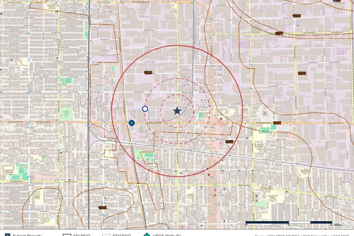
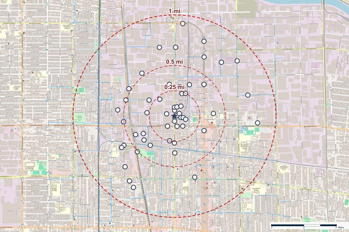
Typical uses
Property underwriting
Context on the surroundings before binding.
Claims investigation
Background on a location after a loss.
Portfolio review
Screen many locations on the same basis.
Exposure analysis
A starting point for deeper work on higher-concern sites.
Questions, answered
Does the report assess liability?
No. It reports what the databases show and where. Judging exposure remains with your underwriters and consultants.
Keep exploring
See it on your own property
Order a report for any US address and see the records around the property.