About Geoscope

Transforming Environmental Data into Intelligent Decisions

Geoscope Solutions combines geospatial technology, environmental data, and intelligent automation into one integrated environmental intelligence platform.

Who We Are

About Geoscope Solutions

Geoscope Solutions is an environmental intelligence technology company that helps environmental consultants, engineers, lenders, developers, real estate professionals, government agencies, utilities, insurers, and investment firms make faster and more informed land-related decisions.

We simplify environmental due diligence by integrating regulatory databases, GIS, historical research, spatial analytics, and automated reporting into a single platform.

1,500+data sources
24-hourdelivery standard
Analyst-reviewedevery report

What We Do

Environmental Records, Maps and History in One Report

Geoscope supports due diligence, commercial real estate transactions, infrastructure development, industrial site assessments, compliance reviews, and land acquisition with environmental records, maps, and historical research in one report.
  • Environmental regulatory database screening
  • Geographic Information Systems (GIS)
  • Spatial analytics and proximity analysis
  • Historical aerial imagery and topographic mapping
  • Environmental records review
  • Interactive web mapping
  • Automated environmental reporting
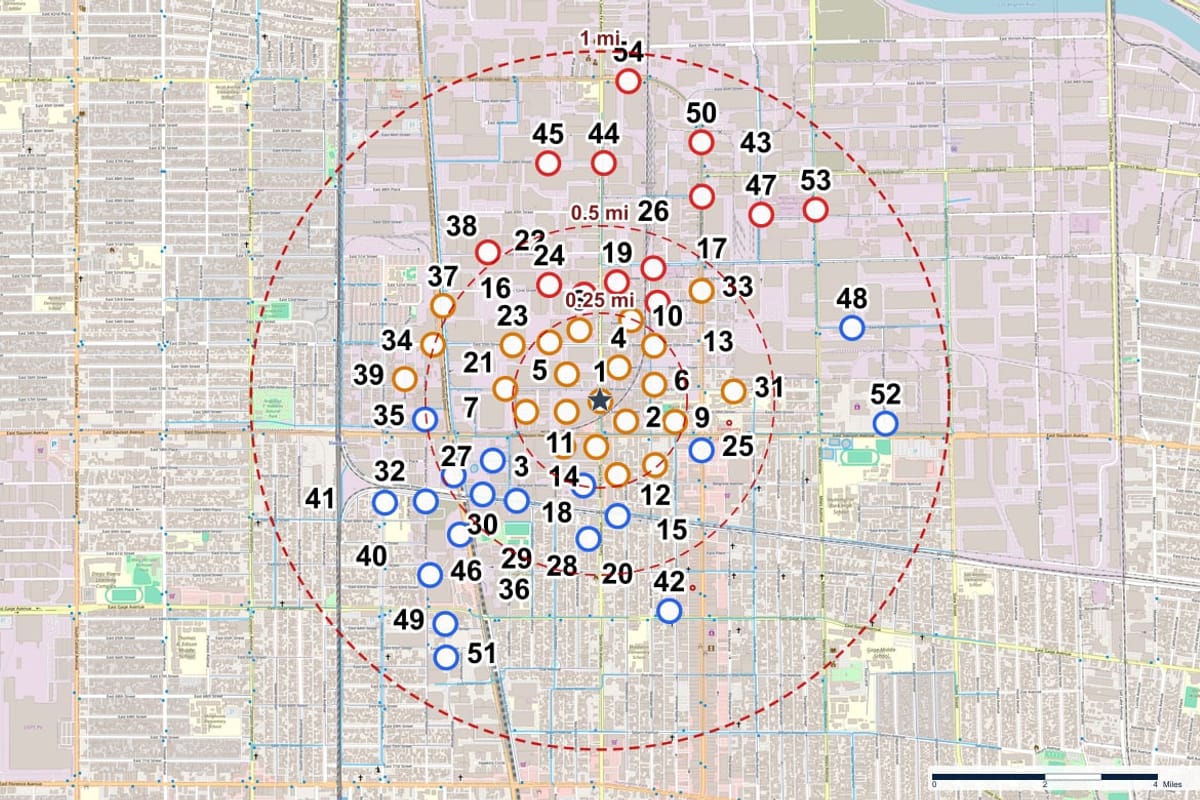
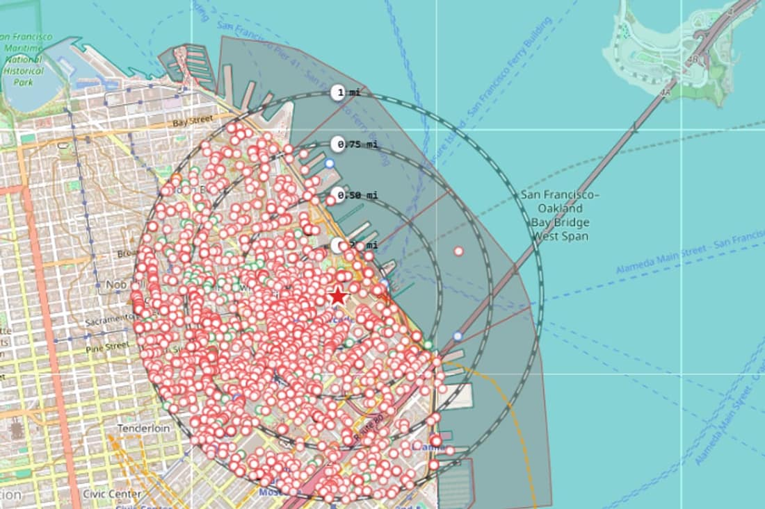
  • Mapped records with distance, direction and elevation context
Numbered environmental records mapped around a subject property

Quality Control

What Our Analysts Do

Every report passes through a Geoscope analyst before it is released. The work is verification: making sure each record is in the right place and that its details are accurate.

  1. Place each record at its correct location. Automated geocoding is checked by hand and corrected where needed, with extra attention to the records closest to the property.
  2. Confirm the subject property location. The property is checked before anything is released.
  3. Check that the records are accurate. Record details are reviewed so the report reflects what the source databases hold.
  4. Release the report. The finished PDF goes to your account only after these checks are complete.

Analysts verify data. They do not give professional opinions on environmental risk. Interpretation stays with the Environmental Professional.

Purpose And Direction

Our Purpose, Vision, and Mission

Our Purpose

Empower environmental professionals with reliable, actionable technology that improves the efficiency, consistency, and quality of due diligence.

Our Vision

To become the world's most trusted environmental intelligence platform by making environmental risk information accessible, accurate, and easy to understand for every land transaction.

Our Mission

To simplify environmental due diligence through technology by integrating multiple datasets, mapping tools, historical records, and intelligent reporting into one seamless platform.
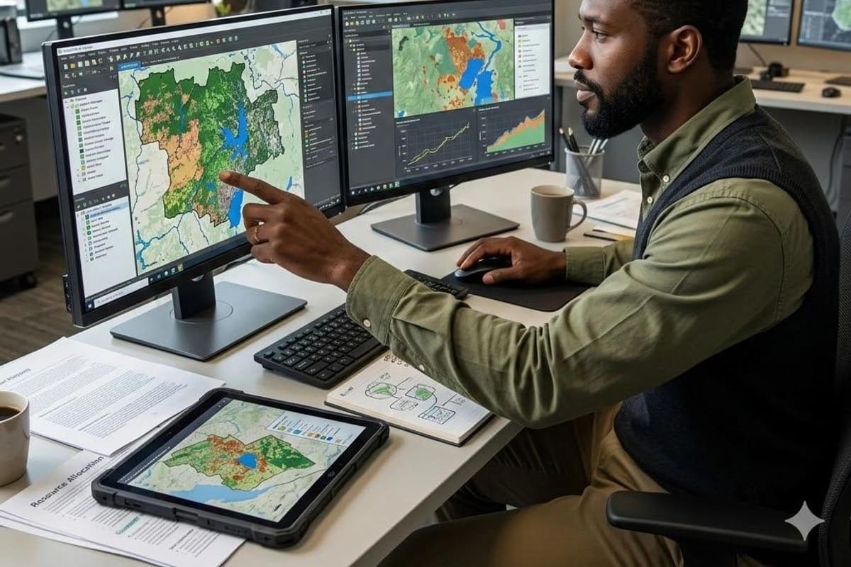
An analyst reviewing environmental maps across multiple screens

Core Values

The Principles Behind Every Report

Accuracy

Every report is built using trusted environmental and geospatial data sources.

Integrity

We provide objective environmental intelligence without bias.

Innovation

We continuously improve our technology to solve real-world environmental challenges.

Efficiency

Reduce manual research from hours to minutes.

Reliability

Provide dependable information professionals can trust.

Customer Success

Our clients' success defines our success.
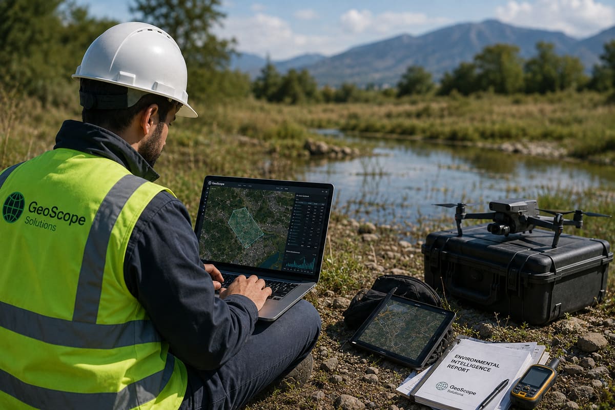
An environmental professional working on a laptop at a site

Platform

How The Geoscope Platform Works

Users search an address, define site boundaries, choose report scope, and receive professional outputs that replace fragmented manual workflows.
  1. Client creates an account.
  2. Client searches an address.
  3. Client draws a property polygon or uploads site coordinates.
  4. Client selects report type.
  5. Geoscope gathers environmental datasets.
  6. Spatial analysis is performed.
  7. Historical imagery is processed.
  8. Environmental databases are searched.
  9. Distances, directions and elevations are calculated.
  10. Professional PDF report is generated.
Geoscope Atlas map with numbered environmental records and buffer rings around an address

Coverage

Services and Markets We Support

Environmental Intelligence Reports

  • Executive Summary
  • Site Overview
  • Property Information
  • Interactive Location Maps
  • Environmental Database Screening
  • Historical Aerial Imagery Review
  • Historical Topographic Maps
  • Terrain Analysis
  • Flood Assessment
  • Regulatory Database Summary
  • Risk Classification
  • Conclusions and Supporting Appendices

Environmental Database Screening

  • CERCLIS / Superfund
  • Brownfields
  • RCRA
  • Underground Storage Tanks
  • Leaking Underground Storage Tanks
  • Hazardous Waste Generators
  • Toxic Release Inventory
  • Landfills
  • Air Emission Sources
  • Water Discharge Permits
  • State and Local Environmental Records

Historical, Terrain, and Flood Intelligence

  • Historical aerial imagery
  • Historical topographic maps
  • Land development timelines
  • Elevation, slope, and aspect
  • Drainage direction and watersheds
  • Flood zones and floodplain mapping
  • Surface water and terrain context

Custom GIS Solutions

  • Interactive mapping applications
  • Spatial databases
  • Environmental dashboards
  • GIS automation
  • Data integration
  • Web GIS applications
  • API integration
  • Geospatial reporting
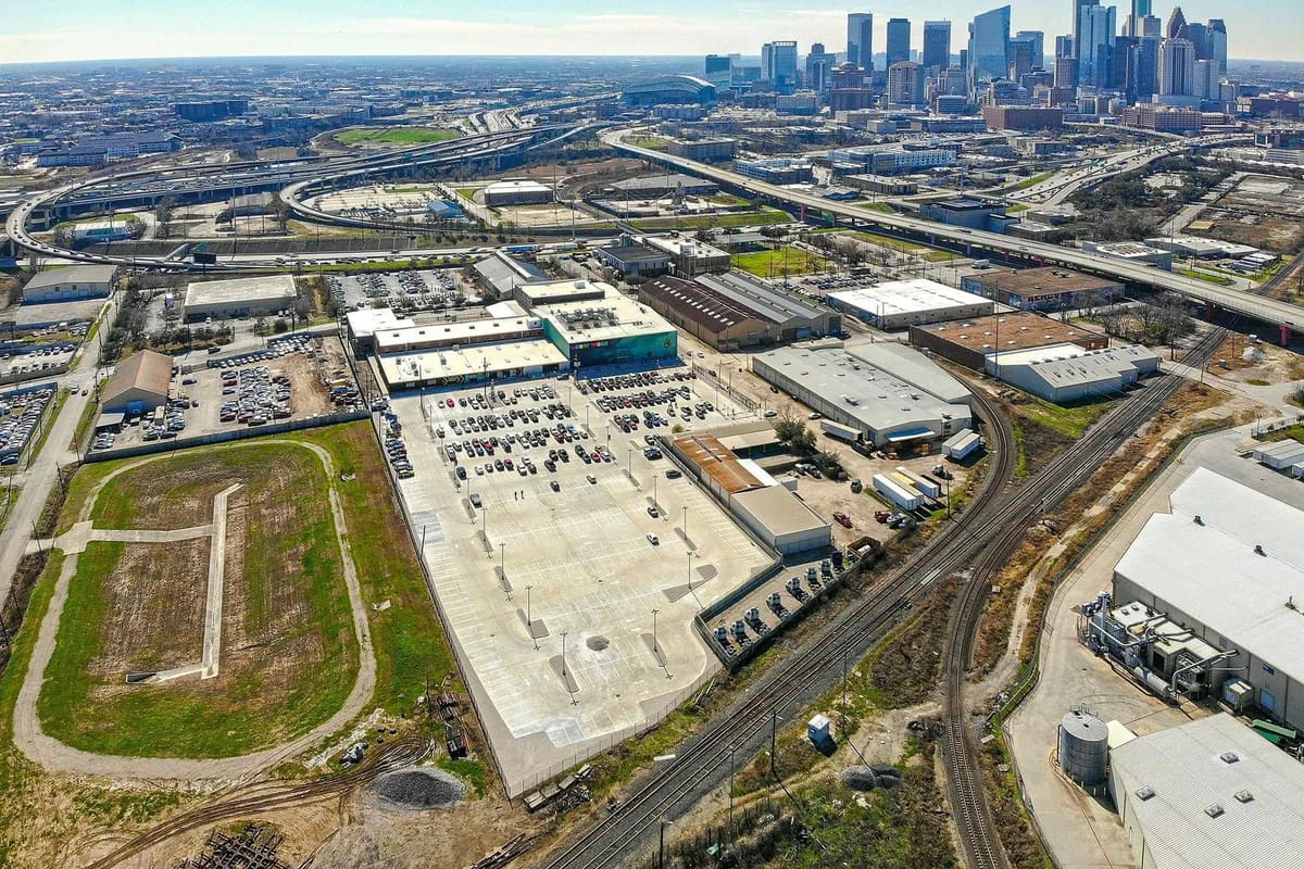
An aerial view of an industrial district beside a city skyline

Who We Serve

Built for Consultants, Lenders, Developers, and Public Teams

Sectors

  • Environmental Consulting Firms
  • Engineering Companies
  • Commercial Real Estate Firms
  • Banks and Private Lenders
  • Insurance Companies
  • Developers and Construction Companies
  • Government Agencies and Municipal Authorities
  • Utilities and Infrastructure Teams
  • Investors and Law Firms

Industries

  • Commercial Real Estate
  • Environmental Consulting
  • Engineering
  • Energy
  • Oil and Gas
  • Mining
  • Transportation
  • Infrastructure
  • Agriculture
  • Utilities
  • Government
  • Finance
  • Insurance
  • Construction
  • Telecommunications

Why Clients Choose Geoscope

  • Fast report generation
  • Professional presentation
  • Centralized environmental information
  • Reduced manual research
  • Modern GIS technology
  • Improved decision making
  • Scalable platform
  • Cloud-based infrastructure
  • High-quality mapping
  • Comprehensive environmental intelligence
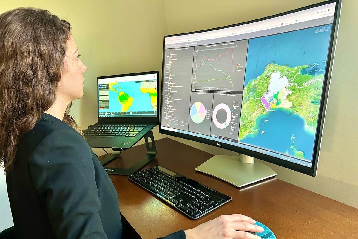
A professional reviewing a mapped property on a large monitor

What a report replaces

The same research, done once, organized for review.

TopicResearching it yourselfA Geoscope report
Where you searchGovernment portals one at a timeOne search across federal, state, tribal and local databases
What you seeLists of names and addressesA numbered map with distance rings and elevation coloring
Distance and directionWorked out by handCalculated for every record, closest first
Site historyA separate research taskAerial photographs and USGS topographic maps in the same report
SourcesNotes you keep yourselfAgency, dataset version and retrieval date on every record
DeliverableA document you buildAn organized, analyst-checked PDF
Time and costVaries with the site24 hours, typically, and $79 per report

Partners

We work with environmental consultants, engineering firms, lenders, legal and real estate teams on research support, volume programs and white-label arrangements. See how partnering works.

Built for Defensible Decisions

Every report combines live GIS data, regulatory records, and analyst review into a single defensible deliverable for due diligence, underwriting, and legal counsel.

Core capabilities include environmental records screening, flood context, rainfall analysis, receptor proximity, GIS visualization, and client-ready PDF reporting.

Customer Outcomes

Verified platform benefits from teams using Geoscope for screening, review, and portfolio workflows.

Verified outcome

Cut screening time from days to hours

“The platform view makes it much easier to compare properties, share findings, and keep the team aligned.”
Regional lender
Portfolio underwriting team
Verified outcome

Standardized review across acquisitions

“Saved projects and repeatable map layers made our diligence process feel like software, not a one-off report workflow.”
Real estate operator
Acquisitions group
Verified outcome

Improved defensibility for counsel and clients

“The source-linked output and analyst notes make the deliverable easier to defend in front of stakeholders.”
Environmental consultant
Technical review team